T’is only 41klm from Strahan to Queenstown, our intended first stop of today’s journey, 41klm with reputedly over 80 tight corners, many switchbacks as we are to climb several hundred metres over the Mount Dundas Regional Reserve. We are all feeling sad at leaving Strahan so quickly as we had planned to spend several more days here, however, the approaching storm clouds of CoVid-19 now push us on towards the more populated east coast where we have many more choices of destinations and activities, or so we think!
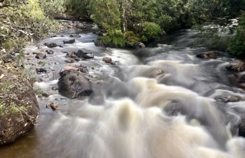
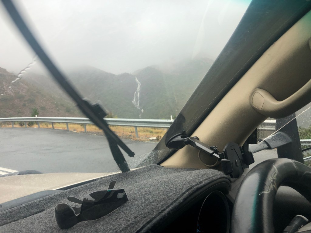
The initial drive out of Strahan is pretty darn spectacular, and if it weren’t for the caravan on the rear we would have stopped several times to take in the view over Strahan and the sea that is Macquarie Harbour. The steepness is eased somewhat by the excellent and wide roadway, especially on the hairpin bends. As we near the summit of our climb there appears a very tall waterfall off to our right, with a boardwalk suspended from the cliff face running from a small carpark ahead of us. We slow while Evi takes a photo, but don’t stop to do the walk as it is now raining lightly and there’s not much room for us in the park.
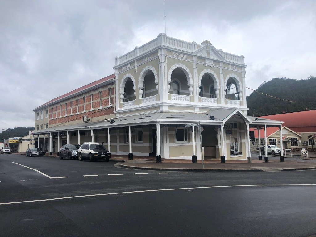
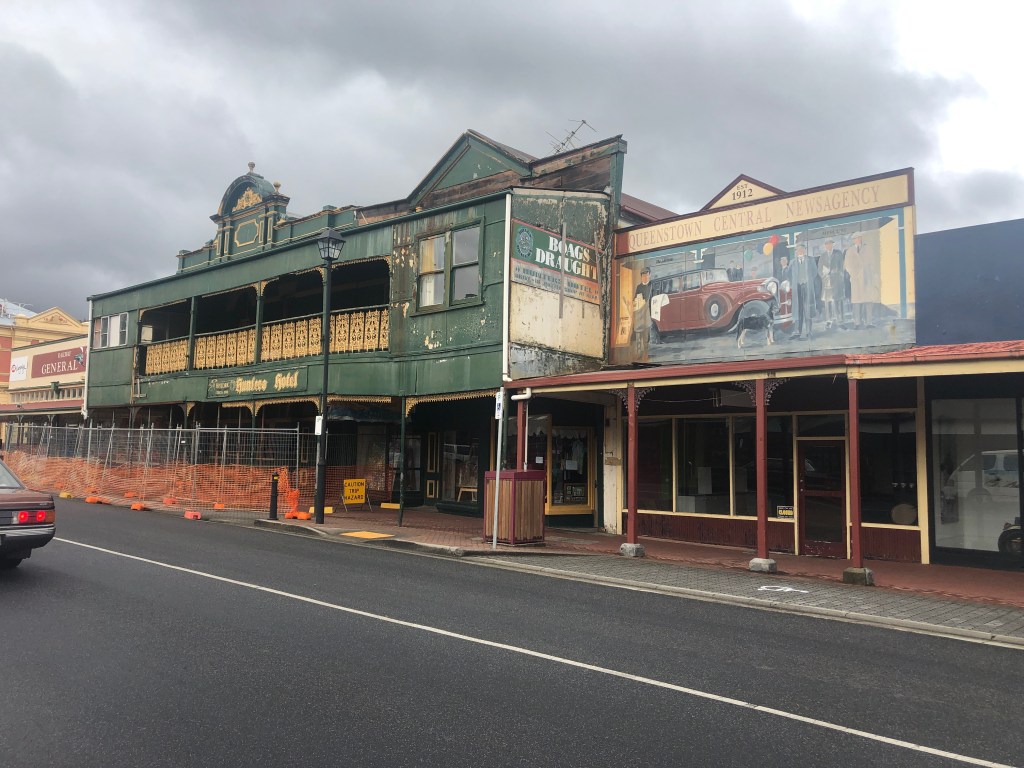
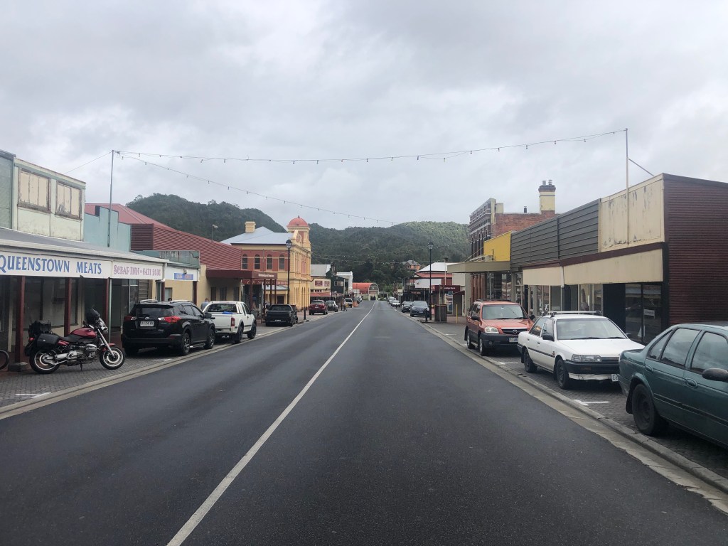
We now drop down into Queenstown glued to the slopes of Mount Owen is the largest town of the west coast region, population almost 1,800, though it is difficult to actually get a look at the whole town due to the geography. To quote from the Tasmanian Tourist Guide….”surrounded by dramatic hills and mountains and was once the world’s richest mining town. The copper mining and mass logging in the early 1900s created a surreal and rocky ‘moonscape’ of bare coloured conglomerate.” The whole place still feels like a rich and rough frontier town of yesteryear! Gary and Jenny have continued on, however, we opt for a stop to walk the historic township and grab a coffee as well. The main street retains many of the old brick and stone buildings, and a magnificent railway station which was once used to ship both copper and timber to Strahan. We found a trendy little bakery in a side street, you know with exposed brick, timber and corrugated iron everywhere, and a delicious waft of fresh baked pies and ground coffee! Morning tea was a coffee and a Scallop Pie.
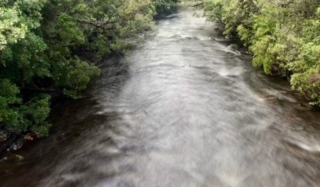
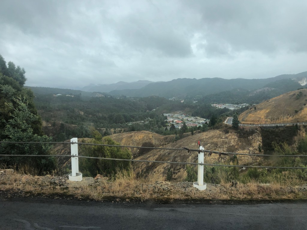
East from Queenstown (another place we had planned to spend a few days) we trundle along valleys and gentle hills, then along the shores of the expansive Lake Burbury till we come to a narrow neck where a bridge crosses to continue the 114klm drive to Derwent Bridge. The road crosses three ranges as we climb and drop, the Raglan, Loddon and King William Range. we also cross the famed Franklin River as we are now in northern portion of the Franklin-Gordon Wild Rivers National Park.
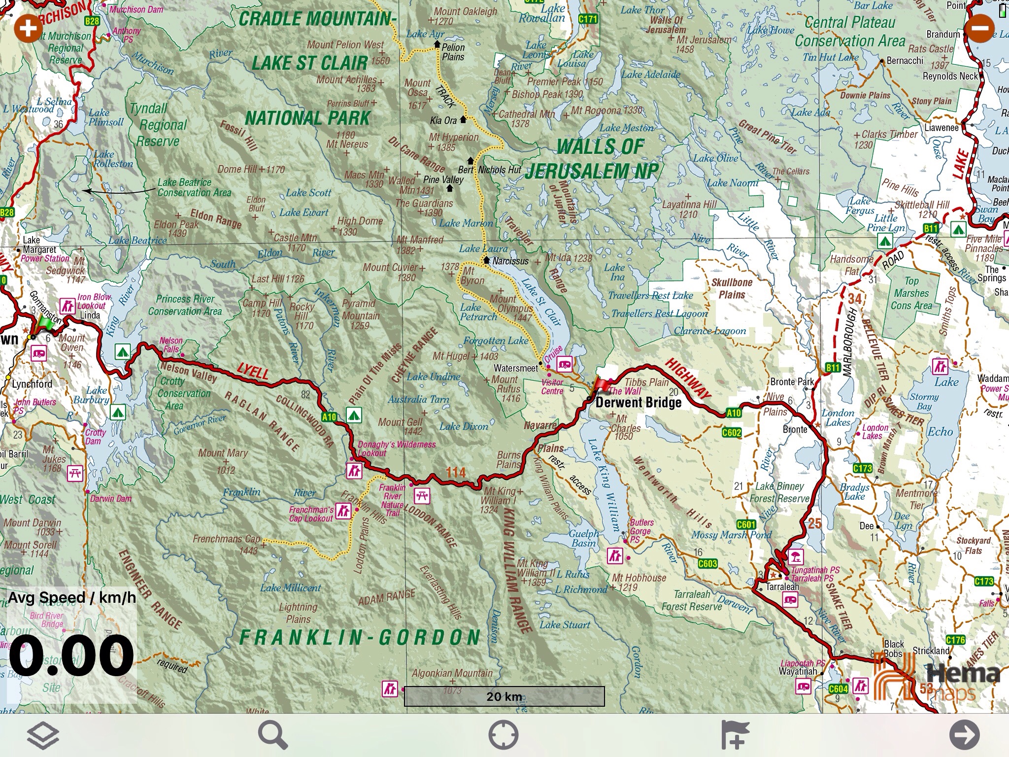
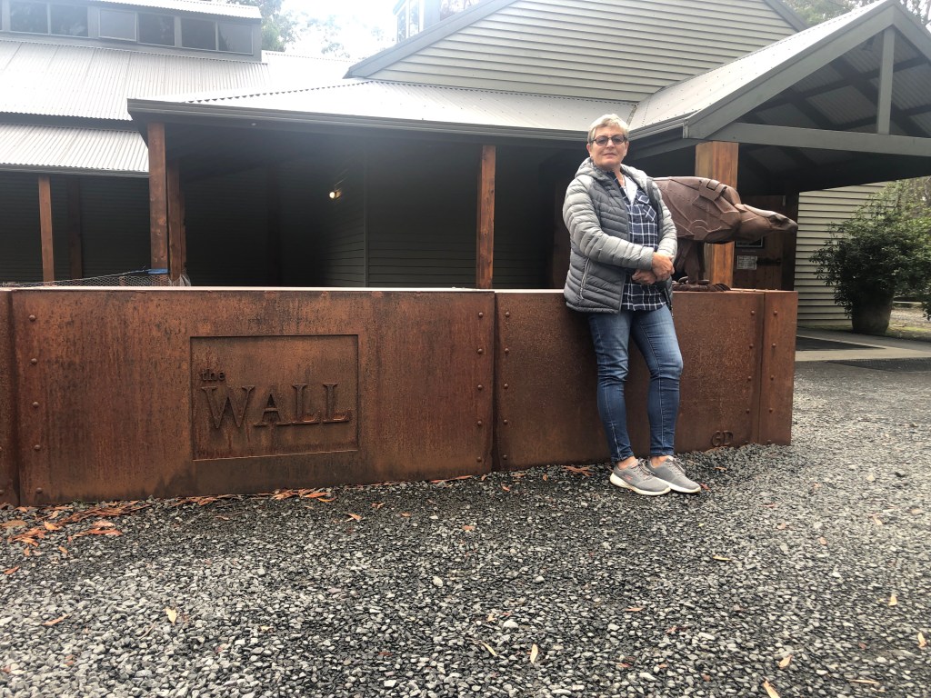
What is Derwent Bridge….well, it’s a bridge crossing a short river between Lake Saint Clair to the north and Lake King William to the south. Here there’s the Derwent Bridge Hotel which allows caravans to park for a couple of nights in their large carpark. On the east side of the bridge is a Petrol Station, small store and a couple of motels and hostels. Nearby are two main attractions, Lake Saint Clair and The Wall. By 2pm we have arrived, setup camp and had lunch, so as usual it’s time for a recon drive out to the Lake and the excellent Visitor Centre. The famed Cradle Mountain 6-8 day walk finishes here, but there are several other day walks available, one of which we will tackle tomorrow. There’s still enough time to visit The Wall that features a timber sculptured long wall, 50 metres long but accessible from both sides so the work is actually 100 metres. made up of panels of timber one metre wide and three metres high. The wall tells the story of history and development in this wild region. It is a must see when in Tasmania. Unfortunately photos and not permitted, so please have a look at this link.. https://thewalltasmania.com.au
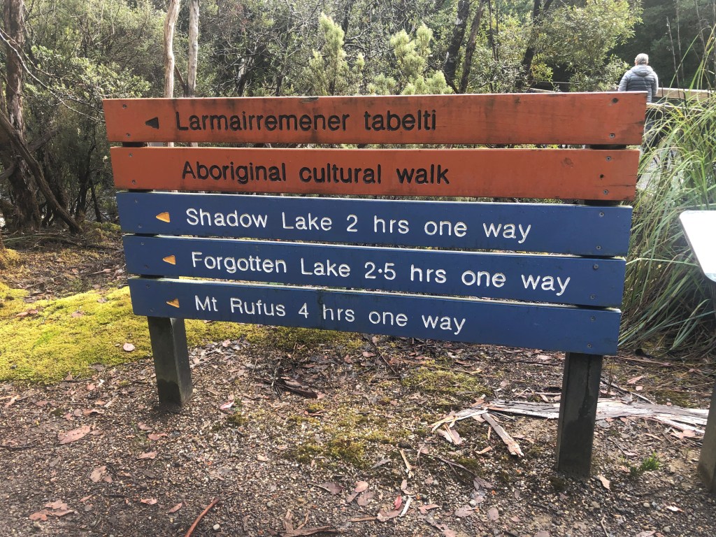
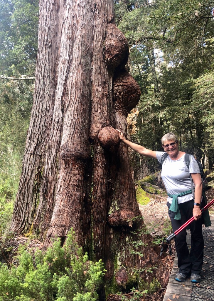
Walking boots, check. Backpack with essentials, check, Walking Sticks, check. Lunch and water, check. Map, check. We begin our walk and it seems the one we have chosen up to the Forgotten Lake near Mount Hugel should be a 3.5 to 4 hour return (according to Evi). Easy, except it turns out to be a 8 hour walk. For half an hour we have an easy flat walk on the wide main track until we encounter a junction and take a turn across a footbridge over the Hugel River. Here the track becomes a track, but pretty well defined. We will roughly follow the river for the next hours as we climb up 440 metres altitude over tangled tree roots and along muddy rutted paths. The area is stunningly beautiful but as we need to concentrate on our footfall we need to stop continually to enjoy the sights. Huge ferns and even bigger, especially taller trees, king of which is the Giant Ash, the second tallest tree in the world towering hundreds of feet above us.
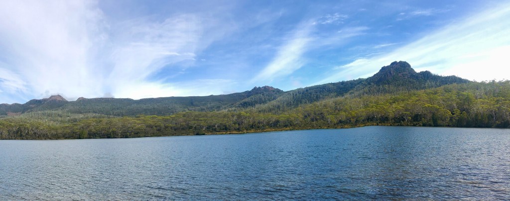
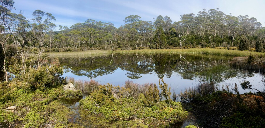
Finally arriving at Shadow Lake we take a small break and munch a muesli bar while we check our bearings. The walk around this lake has some small beaches giving access to the crystal clear water, though the bottom is brown making it difficult to guess its depth. Forgotten Lake lies another kilometre away along a boardwalk path about 50cm above the ground as it crosses delicate marshland. Here we see a snake basking on a rock beside the track, a Tiger Snake, which slithers away very quickly. Forgotten lake is quite large and as we walk around its eastern shore, still heading north, Roscoe calls a halt to decide whether to continue or return. Evi wants to climb Little Hugel, another 70 minutes north but that would involve a late return to the car, we turn around and look for a lunch spot.
Once back past Shadow lake we cut an alternate return track we have decided to try. It cuts along the foothills of Mount Rufus in a meandering fashion for some time, then drops into a broad grassland before a long steep climb over a few ridges. The track is in good condition in the main, but we are getting tired, especially when we realise during a stop that we have at least 2 hours to hike yet, and Evi states “glad we didn’t get to Little Hugel”… understatement! About an hour from the carpark we breast a ridge and have a stunning view of Lake Saint Clair, 170 metres deep and a glassy surface reflecting the surrounding hills, this tells us not long now, and after 19.4klm the end could not come soon enough!
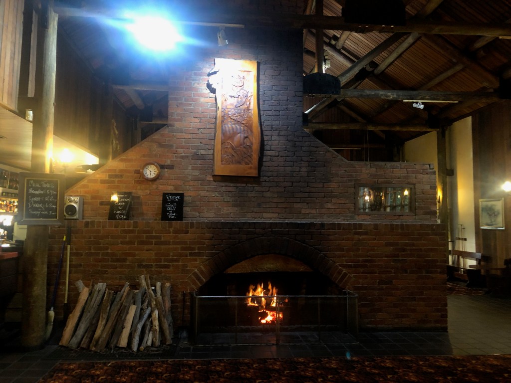
We did not know it at the time, but we had dinner at the Hotel with Gary and Jenny on our 2nd night….and this would be the last meal out as CoVid-19 restrictions tightened. The pub is rustic but cosy with a huge central fireplace throwing flickering light and heat throughout. The steaks were excellent and the beer cold…….. all good in Tassie today!